West Burleigh Construction Waste and Resource Recovery Project - Visual Amenity Fact Sheet
An independent Visual Impact Assessment was undertaken for the proposed WBCWRR Project. The quarry extraction process has significantly altered the natural landform. The visible extent of the Project site is generally well defined by the physical extent of the existing quarry pit, the quarry infrastructure and related structures (including the stockpile areas, roads and carparking, offices, asphalt plant and concrete batching plant), and the site’s vegetated perimeter buffer.
The WBCWRR Project site may also, in time, be impacted by the need to accommodate the proposed future extension of the Queensland Rail heavy rail corridor. The corridor is currently indicatively mapped along the Project site’s southern edge. The timing and actual configuration of this future corridor is yet to be finalised by Queensland Rail.
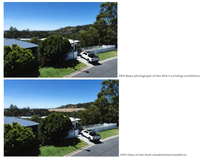
The visibility of the Project site from potential visual receptors in the surrounding area was assessed using a ‘reverse sightline’ process that identified five locations of potential representative visual receptor groups that may have potential sightlines to the Project site and the proposed development. A viewpoint was selected at each location (VPA to VPE) that provided the most unobstructed accessible sightline to the Project site.

The photomontage visualisations together with other information including the technical drawings and reports were relied upon for the analysis of the proposed development’s visual impact.
The effect of the magnitude of the impact of the non-putrescible construction waste landfill operation was shown to vary between low to moderate where visible to the representative Receptor Groups.
While still appearing as a degraded landscape, the changing landform was shown to generally mitigate the abrupt visual contrast created by the visibility of the excavated benches on the south-west slope of the north-east ridge in relation to the neighbouring urban and vegetated areas. The non-putrescible construction waste landfill will re-establish a more complementary landform height and shape that will progressively cover and conceal the benches, which will be of low to moderate significance for the representative receptor groups.
The effect of the impact of the proposed rehabilitation was shown to be of a moderate to high magnitude subject to the extent of the Project site’s visibility or the distance of the Receptor Group from the Project site, again noting it would not be visible at one point. The impact was shown to either be of moderate to high-moderate significance for all the other assessment points.
The non-putrescible construction waste landfill was not shown to exacerbate the visual impact of the current quarry operation.
Post-rehabilitation, the visual character of the Project site was shown to be significantly enhanced due to the East pit area being transformed into a grass open space that, although of a man-made appearance will better complement the setting and contribute to its enhanced visual amenity and character.
The restructured Infrastructure area will not be visible to visual receptors.
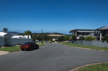
 Current view
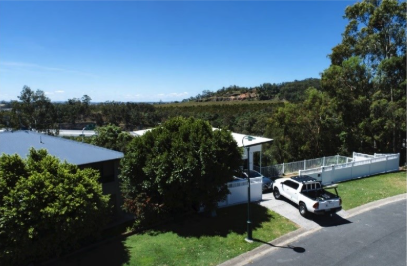